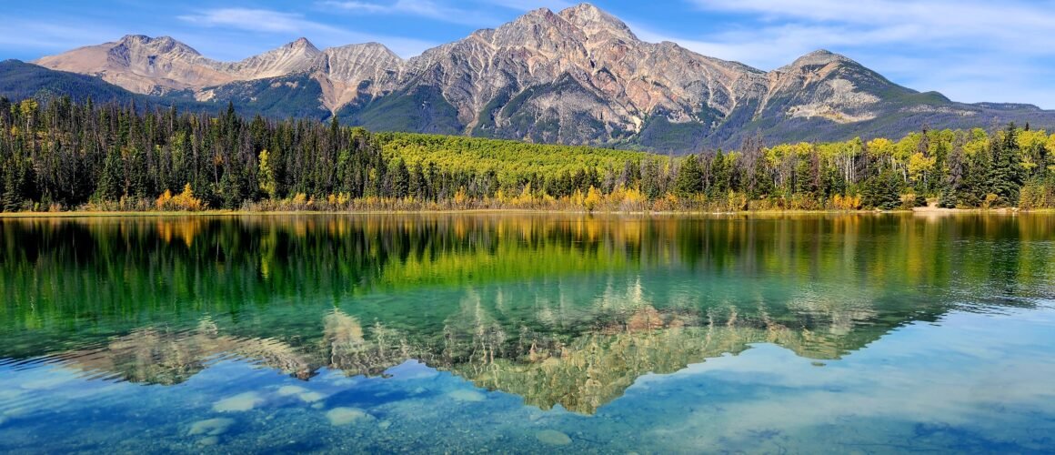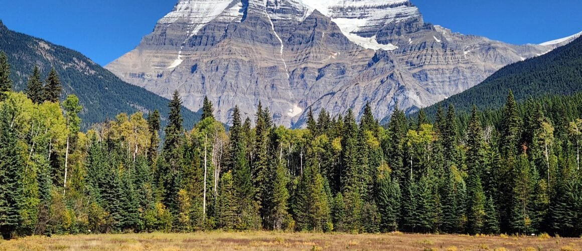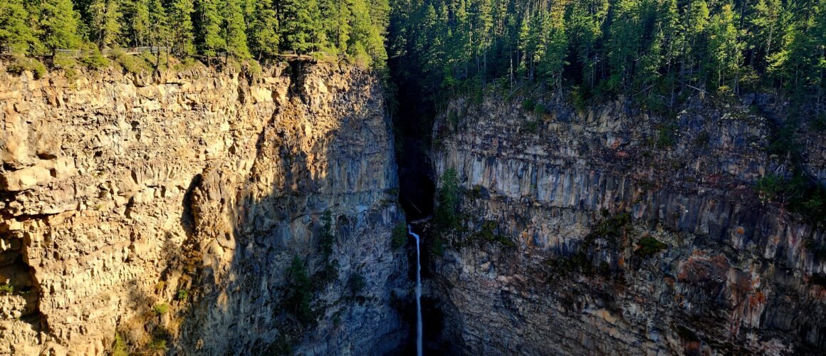
The Icefields Parkway is where I run out of superlatives to describe our surroundings. Stunning, spectacular, breathtaking – the landscape is all these things and yet the words feel too ordinary to describe the extraordinary. We meet an American woman later on in our trip who has shared some footage from further along this road on social media; her followers are certain it’s AI.
The Road through the Rockies
The Icefields Parkway is a 232km stretch of road winding through the heart of the Canadian Rockies, connecting Lake Louise (Banff National Park) to Jasper (Jasper National Park). This road doesn’t just pass near the mountains – it cuts directly through the high continental divide, placing you at eye level with giant ice masses, ancient valleys, and towering peaks.
The views are relentless – you could literally stop anywhere on this road (please don’t just stop anywhere on this road; there are plenty of laybys) and be gob-smacked by the view. After a while, you just kinda drive along with your mouth hanging open.
And it’s not just the mountains: the lakes are brilliant turquoises from the presence of glacial rock flour, and the road is a primary wildlife corridor too – we see elk on the way out of Jasper, but bighorn sheep, mountain goats, and both black and grizzly bears are also commonly sighted (note, our bear count is still zero).
As we’ve decided not to overexert ourselves today (see previous blog post), we plan to stop about halfway along our route at the Athabasca Glacier and Columbia Icefield – at 325 square kilometres it’s the largest ice mass south of the Arctic Circle. We decide we’ll do a short walk there and just do some other ‘viewpoint stops’ and leg-stretches along the route.
Elbows at the ready!
The thing about viewpoints and stops that are only a few hundred metres from the parking lot is that everyone is at them. Cars, campers, and coaches crawl around looking for vacant spaces and the viewing platforms are absolutely packed. It’s at this point too that I start to get seriously irked at people just pointing their phones at everything and not really seeing the surroundings.
For me, continuously taking photos or filming seriously detracts from the experience and enjoyment of just being. I’m trying to take less pics now or just take my phone out in smaller blocks – like at a summit – so that I can stay in the moment more often. I enjoy taking photos, but I don’t want to get caught in the trap of living life through a lens – it’s a fine balance, and I don’t feel like I’ve got it right yet for me. So it bugs me a bit that at our first two stops, Athabasca Falls and Sunwapta Falls, it’s so busy that all we do is grab a few pictures and get the heck outta there.
The Glacier and the Icefield Centre
Ironically, it gets slightly less busy at the main visitor hub – the Columbia Icefield Discovery Centre. Well, except in the entrance hall where everyone is booking or grouping to get onto an ‘Ice Explorer Glacier Tour’ – where you can get up onto the Athabasca Glacier in a giant, specialised bus. I don’t love this; I can’t see how it’s good for the glacier in any way, but watching those buses inch down the steep, narrow road is a sight to see.
Anyway, the Icefield Centre is a good amenities stop. Sitting at over 2,000m above sea level at Sunwapta Pass, and with the katabatic winds sliding down over the glacier, it’s noticeably chillier outside and we get a decent hot meal here – mashed potatoes, meat, gravy, roasted root vegetables – bring it on!
The centre also hosts a fine art photography exhibition. Meltdown: A Drop in Time blends landscape art with environmental awareness, focussing on the rapid retreat and transformation of the Columbia Icefield’s glaciers. The large-format images are beautiful: they draw you into the brilliant blue ice structures, glacial crevasses, and meltwater pools you don’t get to see from the highway, but they also capture the fragility of the ice masses, highlighting what is actively being lost to changing climate conditions.
We head outside and across the road to the Athabasca Glacier itself, which is directly across the road from the Icefield Centre. We string the Forefield Trail and Toe of the Glacier Trail together which makes for a less than 5km return with 170m total ascent only, though it’s slow-going across the rocky and uneven glacial moraine. A series of markers along the trail show the glacier’s retreat, noting the toe of the glacier’s position at regular temporal intervals.
Walking past each marker is a heavy, confronting experience. Over the last 125 – 150 years, it’s estimated that the Athabasca has lost more than half its total volume and receded by about 1.5km. Currently, it’s believed to be receding at roughly 5m a year and losing depth of about 2-3m every summer in massive meltwater runoff. More broadly, studies tracking Western Canada’s glaciers indicate that the region’s icefields have lost roughly 15-20% of their mass over the last 40 years alone.
A low stone wall indicates the end of the trail and even then, the toe of the glacier is some way away, suggesting it has shrunk further since this viewpoint was determined. We take pictures, but we stop and sit awhile too.
Onwards: to Lake Louise
There are many more trails along the parkway, especially at the Lake Louise end. Wilcox Pass, Peyto Lake, and Bow Lake all come up as ‘must-dos’ in a search, but we’ll need to save them for another trip (there will, for sure, be another trip) as we have two nights at Baker Creek, on the outskirts of Lake Louise, and that means the full day we have there has to be dedicated to Lake Louise itself.
We get to Baker Creek at 4pm on the dot because this is check-in time and we’re ditching the camper for a proper room in a lodge for a few nights. The place is gorgeous: tartan (or ‘plaid’ if you’re not Scottish) curtains, wood-panelled interiors, and bear motifs on everything – felted onto cushions, embossed on light switches, and cut-out from the metal fire pit surrounds. In short, it’s everything I’ve ever imagined from a snug little log cabin. There’s even a tiny balcony with two red Adirondacks so you can sit and listen to the creek running along while you try and spy wildlife on the edge of the forest beyond with the handy binoculars supplied. Bliss! (Spoiler alert: again, no bears sighted).
We’re sitting having a cuppa when Andy has a bit of a hmmmm. Having passed many signs telling us that parking at Lake Louise is ‘full’ on the way in, he’s doing a bit of research on the situation. As it turns out, Lake Louise really is just that – a lake (and the Fairmont Chateau, of course); it’s a 7.4km drive to the lake from Lake Louise Village itself, or a 4.1km walk. Now, that’s not an horrendous walking distance in isolation, but when you’re going there to hike up a hill you don’t really want to add an 8km return onto your day.
Of course, you can park there, but everything we read says the place starts filling up at 6am! That’s not a time I want to get up at on holiday and so the next option is to get a shuttle. We get two of the last three spaces on one going in at 10am that will come back and get us at 3.30pm. It’s the third shuttle operator Andy checks so we feel pretty grateful to get that locked in.
Lake Agnes, Little Beehive, and the Fairview Lookout
The next day, our bus driver elucidates further on all things getting to Lake Louise. She talks about hefty fines for those who can’t find a park and abandon their cars in no parking zones. Allegedly, this results in your car being encircled in official tape which has to be ‘officially removed’ when you pay the fine – further (bigger) fines result if you break the tape yourself. Apparently, lots of people riskily abandon their cars because they get to the lots, find them full and immediately get turned around again – there’s a ‘no waiting for spaces’ situation and it’s very well-controlled.
She tells us too that lots of people hire bikes rather than paying for the shuttle as it’s a bit cheaper. However, it’s a decent up and over from the village to the lake, and the people who hire bikes don’t always seem to be the most fit and regular of cyclists. Cue lots of wobbling all over a narrow road where tour coaches inch past each other – a dangerous situation all round.
Just as we’re thinking this is all hyperbole, we pass a few weaving cyclists and arrive in the very clearly full car park, which also contains our drop off zone. We hop off the bus and amble happily down the path to the lake. As we round the corner onto the lakefront promenade, we are greeted by an absolute sea of people – and I mean hundreds. Selfie sticks, phones, cameras – everyone is trying to take pictures from every angle – across the lake to the Victoria Glacier, and then 180 degrees in the opposite direction, the famous Fairmont Chateau itself.
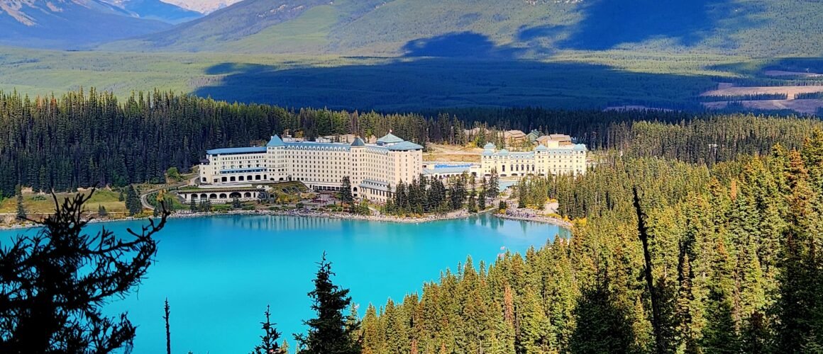
Lake Louise was named in honour of the fourth daughter of Queen Victoria, in 1884. The Chateau was built by the Canadian Pacific Railway (CPR) in 1890 to attract wealthy clientele (and thus recoup some of the cost of the CPR). The combination of the neon-turquoise lake, a dramatic hanging glacier, and the grand historic castle-like hotel is practically custom-built for viral photograph and so I didn’t expect this stop to be one where we could sit and enjoy a quiet moment at the water’s edge. But this is a level of craziness I didn’t anticipate. We get onto the path for our planned hike as quickly as possible.
The hike isn’t a quiet trail by any means either, but it isn’t Tongariro Crossing level busy. People are well-spaced out and so it’s an enjoyable walk. The terrain is easy-going; it is a well-packed dirt track through the trees, but it’s a steady incline too. It’s another bright and warm day, so the forest shade of spruce and fir is welcome.
At nearly 3km, the trees part at Mirror Lake, a tranquil alpine pond that sits directly under the towering rock walls of Big Beehive. We stop for a quick snack here before continuing on. The track becomes more rugged, steepening through a series of switchbacks before arriving at Lake Agnes, nestled in a striking alpine cirque, framed tightly by the jagged peaks of Mounts Whyte and Niblock. It’s a stunning spot for lunch, which, I am glad to say, we brought with us because this is also the site of the historic and extremely popular Lake Agnes Tea House – and the queue for freshly baked goods and steaming pots of tea is very, very long. If standing in a queue for 15 minutes isn’t your idea of a good time, do like we did and BYO.
After a leisurely lunch in the sun, we hike up the last 1km of the trail to Little Beehive. The alpine larches thin as we climb, and we catch glimpses of Lake Louise and the Chateau as we go. On reaching the summit (2,205m above sea level), we’re met with expansive views over the lake and all the way down the valley, as well as closer peaks like Big Beehive and Mount Fairview. We’re far from alone up here (though it’s much quieter than Lake Agnes as many people just go as far as the Tea House) but everyone has spread out along the sprawling rocky viewpoint, and we find an isolated spot to sit and appreciate the views before heading back down the track.
But the day isn’t over yet! When we get back to the lake, we still have an hour and a bit before the shuttle returns and we sure as hell aren’t going to hang amongst the lakefront crowds for that length of time. Andy suggests we add on the 2km Fairview Lookout Trail to fill the time. This short, sharp track is a solid workout for the lungs and legs – especially after the 10km return of the Little Beehive route – but the views are worth it. On the lake, bright red canoes contrast sharply with the turquoise water, and the Chateau sits on the shore with Little Beehive behind.
This is, however, another jam-packed viewing platform as it’s a bit of an Insta-famous view so unfortunately it is another ‘quick pics and leave’ location. But having had plenty of views from the top of Little Beehive all to ourselves, this time, I’m not that bothered.
Next Stop, Banff…